This article has been reviewed according to Science X's editorial process and policies. Editors have highlighted the following attributes while ensuring the content's credibility:
fact-checked
reputable news agency
proofread
New England knows winter, but why so dangerously cold?

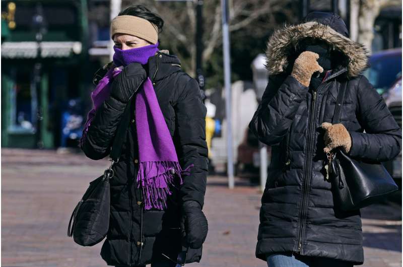
New Englanders are used to cold temperatures, but a combination of extreme cold accompanied by powerful winds is downright dangerous, and enough to send even bundled-up skiers scampering indoors.
It's that potentially deadly combination that sparked worries as weather forecasters talked about "once-in-a-generation" wind chills in parts of New England.
WHAT'S CAUSING THE COLD?
New England's temperature swing is being caused by two things: The blast of Arctic air has reached the region just as a rapid cyclogenesis is developing over Labrador and Newfoundland, churning up powerful winds, said meteorologist Donald Dumont at the National Weather Service in Gray, Maine.
A cyclogenesis refers to an intensification of a cyclone or low-pressure storm system. Those winds mean cold air dipping to nearly 30 below could feel much colder, with wind chills of minus 50 (minus 45 Celsius) in some spots of the Northeast.
"Those things are leading to this extreme wind chill weather pattern that's going to be impacting us," Dumont said.
WHY THE HOOPLA?
Maine is known for its cold weather, but a popular pond hockey tournament was postponed, some ski resorts curtailed operations and organizers even put the kibosh on Saturday's events at the National Toboggan Championships.
The reality is, this sort of extreme cold doesn't happen all that often, even in the Northeast.

In Portland, Maine, the wind chill was expected to dip to 40 below Fahrenheit (which is also minus 40 Celsius). It'll be the coldest since at least 2016 and could be the coldest since 1981, so it's possible the wind chills will be the coldest in more than four decades, Dumont said.
The extremes increase with elevation. On Friday, winds were topping 100 mph (160 kph) and wind chills could reach minus 100 (minus 73 Celsius) atop New Hampshire's Mount Washington, where a handful of weather observers are stationed.
IS IT REALLY DANGEROUS?
Yes, it is. And, Dumont added, "it's painful."
The wind chills forecast for late Friday and early Saturday can cause frostbite on exposed skin in just 10 minutes.
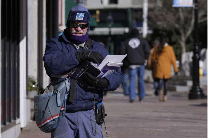
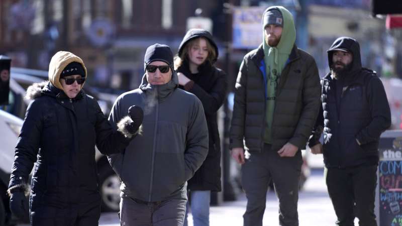
Even if bundled up, the extreme cold can be dangerous for someone who's outside for an extended period.
That's why people are encouraged to remain indoors. If people have to go outside, then they should dress like their lives depend on it.
Just wait until the weather warms up a bit before enjoying the great outdoors, Dumont said. "The best thing to suggest to people is don't travel. You know, just be safe," Dumont said. "Don't go snowmobiling. Don't go skiing."

WHAT ABOUT FROST QUAKES?
Extreme temperature changes can be associated with a rare phenomenon called frost quakes, which also are possible as temperatures plummet across the region.
Technically called cryoseisms, they can happen when water underground freezes quickly and expands during a cold snap, said Sarah Thunberg, another meteorologist.
"It can feel like an earthquake. You can feel a little shake from it," she said. But it's nothing to get worked up over. It's more of a novelty than a danger, she added.
THERE ONE MINUTE, GONE THE NEXT
Mark Twain once opined on how fast the weather changes in New England. That'll be the case for this wintry agony.
The worst of the arctic blast will be departing the region within 36 hours, so Dumont advised to save your snowmobiling, skiing or tobogganing until Sunday, when the temperatures in Portland are expected to reach an ice-melting high of 37 degrees (3 Celsius).
© 2023 The Associated Press. All rights reserved. This material may not be published, broadcast, rewritten or redistributed without permission.


