Climate change won't make winter storms and blizzards go away: Scientists explain why

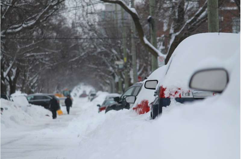
A white Christmas may be the stuff dreams are made of, but when meteorologists start measuring the snow in feet, it can quickly become the kind of nightmare seen in recent days in Buffalo, New York.
After more than two dozen people died in Buffalo during the blizzard over Christmas weekend, Erie County's executive director Mark Poloncarz said the storm, the second of the season, was the "worst storm probably in our lifetime." Other parts of the nation also grappled with severe weather, with cold temperatures linked to 49 deaths, the Associated Press reported.
Scientists say extreme weather events, such as the Buffalo blizzard, could happen more often or be more intense as the Earth's climate changes.
Why climate change brings more extremes
Average air temperatures have been warming across the planet for decades, and as they do, the atmosphere holds more water vapor in some locations, increasing the potential for extreme rain and snow events, according to the National Oceanic and Atmospheric Administration.
Warmer temperatures mean it takes longer for the Great Lakes to freeze over in the fall and winter, said David Easterling, chief of the climate assessments section for NOAA's National Centers for Environmental Information. That open water means more fuel for nature's snow machine known as lake-effect snow to wallop the region.
In other areas, warmer temperatures mean rain instead of snow. Much of the eastern half of the U.S. has seen an increase in extreme rainfall events.
What is lake-effect snow?
Lake-effect snow forms when narrow bands of clouds form in cold, below-freezing air rushing out of the Arctic and over large lakes, such as Lake Erie and Lake Superior in the Great Lakes.
When really cold, dry air comes in out of Canada, and crosses an open body of warm water, "it evaporates like crazy," Easterling told USA TODAY on Tuesday.
Once the system moves over land and slows down, all that moisture becomes precipitation and falls to the ground as snow or rain, Easterling said.
Is climate change making lake effect snow worse?
Possibly. Great Lakes water temperatures remain warmer later in the fall, and cold air moving over the lakes can take advantage of that, Easterling said.
Weather records show temperatures in New York have risen 2.5 degrees since the beginning of the 20th century, according to NOAA's 2022 climate summary for the state. Temperatures have been hotter than in any other period.
"The (Great Lakes) don't freeze over until later in the fall than they used to," Easterling said. "They stay warm later in the season."
Since 1998, Lake Erie has remained mostly ice-free only about a half-dozen times, according to NOAA's Great Lakes Environmental Research Laboratory. Lake Ontario's ice cover has remained below 40% since 2006, with the exception of the winters of 2013-14 and 2014-15.
Meanwhile, researchers report the region has seen some of the largest increases in snowfall in the nation and could continue to see those increases into the future.
Where does December 2022 snow event rank in the records?
As of Tuesday morning, the National Weather Service in Buffalo had reported more than 51 inches of snow at its office in Cheektowaga, New York. The 43 inches that fell through Sunday was the third snowiest three day-period on record, Steven Welch, a meteorologist in that office, told USA TODAY on Tuesday. Weather records for the location date back to 1870.
Eight of the top 10 three-day totals have occurred since 1995. Both of the top two three-day snowfall records were set in December 2001, 56.1 inches for the three days ending on Dec. 28 and 48.1 for the three days ending on Dec. 29, Welch said.
(c)2022 USA Today
Distributed by Tribune Content Agency, LLC.


